

Think more Pacific hurricanes, a wetter and colder winter across the southern U.S. — and potentially the hottest year on record.
An El Niño event that could drive up global temperatures and increase the risk of extreme weather is expected to hit in the coming months, the United Nations weather agency warned on Tuesday.
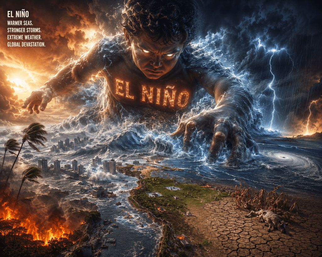
According to the World Meteorological Organization (WMO), El Niño — a periodic warming of sea surface temperatures in the central and eastern Pacific Ocean — has an 80% chance of forming before September and a 90% chance of persisting until November. The weather agency said warm ocean waters were driving the development of El Niño.
“We need to prepare for a potentially strong El Niño event, which will exacerbate drought and heavy rainfall and increase the risk of heat waves both on land and in the ocean,” said WMO Secretary-General Celeste Saulo.
“Extreme heat alone is already one of the deadliest climate hazards we face, and an El Niño event could intensify the threat,” she added. “Communities that were already struggling will be pushed farther beyond their limits.”
“The world must treat it as the urgent climate warning it is. El Niño conditions will pour fuel on the fire of a warming world,” said U.N. Secretary-General António Guterres, who urged a shift away from fossil fuels toward renewable energy.
What’s less certain is how strong this year’s El Niño will be. According to the latest National Weather Service (NWS) forecast, issued in May, the odds of a “super El Niño” occurring between November 2026 and January 2027 have risen from 25% to 37% — meaning that the U.S. and the world as a whole might be in for some wild weather later this year.
Such an event could saddle the southern half of the United States with a much cooler and wetter winter and ultimately fuel what could turn out to be the hottest year on record.
Here’s what El Niño is — and how its rare “super” variant could wreak havoc come winter.
Explaining El Niño
Normally, Pacific trade winds blow west across the equator, carrying warm South American water toward Asia. Cold water then “upwells” from the depths to replace the warmer surface water that’s been pushed away.
El Niño is a natural climate cycle that disrupts this pattern. It’s triggered by weaker-than-usual trade winds — winds that end up allowing much of that warm water to flow back toward the west coast of the Americas.
Ultimately, that warmer water forces the Pacific jet stream — a high-altitude air current that acts as a 7,000-mile “conveyor belt” pushing storms east across the Pacific toward North America — to move south of its usual path, altering weather patterns across the U.S. and the globe.


Leave a comment