

Researchers decipher Babylonian map showing journey to Urartu, believed to be the ark’s resting place after the Great Flood.
Scientists have recently unlocked the secrets of the world’s oldest map, a 3,000-year-old clay tablet known as the Imago Mundi, which is believed to show the location of Noah’s Ark. The ancient Babylonian artifact, etched with cuneiform—a script using wedge-shaped symbols—has puzzled archaeologists for centuries. Discovered in what is now Iraq in 1882, the tablet is housed at the British Museum, where it has become one of its famous collections.
The Imago Mundi depicts a circular world map, illustrating early Babylonian ideas about the world’s creation. The map is thought to show the entire known world at the time, with Mesopotamia at the bottom center. Mesopotamia is enclosed by a circle representing a “bitter river” that was believed to surround the entire world, marking the borders of the known world at that time.
On the reverse side of the artifact, passages reportedly provide a guide describing what a traveler would encounter on their journey, including a path to “Urartu” and specific instructions on how to get there. One passage says: “To the fourth, to which you must travel seven leagues.” Another passage reportedly instructs those on the journey to go through “seven leagues to see something that is thick as a parsiktu-vessel.”
The term “parsiktu” appears on other ancient Babylonian tablets, referencing the scale of a vessel meant to withstand the legendary Great Flood. Researchers believe that Urartu, also known as Ararat, is linked to an ancient Mesopotamian poem recounting a family who, like Noah, landed their ark to preserve life following the 150-day flood. As the flooding ended, they were safely stationed at one of the peaks of Urartu, which aligns with “Ararat,” the Hebrew term for the mountain where Noah’s Ark is said to have come to rest after the flood.
Dr. Irving Finkel, a British Museum curator and cuneiform expert, explained: “It shows that the story was the same, and of course that one led to the other but also, that from the Babylonian point of view, this was a matter of fact thing.” He added: “That if you did go on this journey you would see the remnants of this historic boat.”
The tablet has several paragraphs of cuneiform on its backside and above the map diagram, which describe the creation of the Earth and what existed beyond it. Researchers claim the back of the artifact acts as a secret key to show travelers the route they will take and what they should look out for on the way. The tablet once featured eight triangles that researchers determined signified mountains matching descriptions on the back.
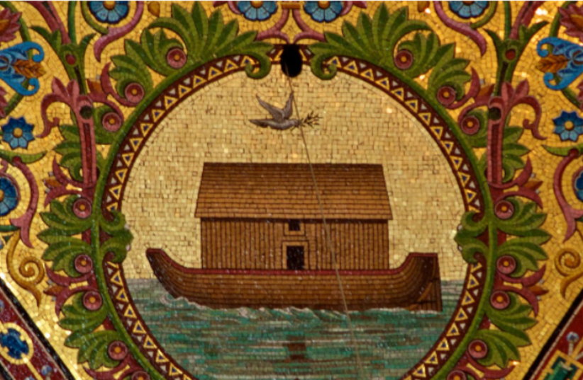
The Biblical story of Noah’s Ark closely follows the Babylonian version, where Utnapishtim and his family built an ark at the command of the god and filled it with animals. According to the Babylonian myth, the god Ea sends a flood that wipes out all of humanity except for Utnapishtim and his family. They ended up safely stationed at one of the peaks of Urartu as the flooding came to an end. Dr. Finkel describes the Babylonian Noah recounting: “‘I did this, this and this. I’ve done it! And I made these structures as thick parsiktu vessel.’” He explained that anyone who traveled the path to Urartu would, theoretically, see the wooden ribs of the vessel on the mountain “like the one in the Bible.”
Biblical texts recount that Noah’s Ark came to rest on the “mountains of Ararat” in Turkey following a flood lasting 150 days that drowned the Earth and every living thing not housed inside the wooden ship. The supposed ark site in Turkey aligns with dimensions stated in the Bible—”300 cubits, 50 cubits, by 30 cubits”—translating to around 515 feet long, 86 feet wide, and 52 feet high.
Controversy persists over whether the structure in Turkey is natural or divinely created, and it is still widely debated if the Turkish mountain of Ararat mentioned in the Babylonian passages truly exists. Dr. Andrew Snelling, a young Earth creationist with a PhD from the University of Sydney, previously said that Mount Ararat could not be the ark’s location, stating that the mountain did not form until after the flood waters receded.


Leave a comment